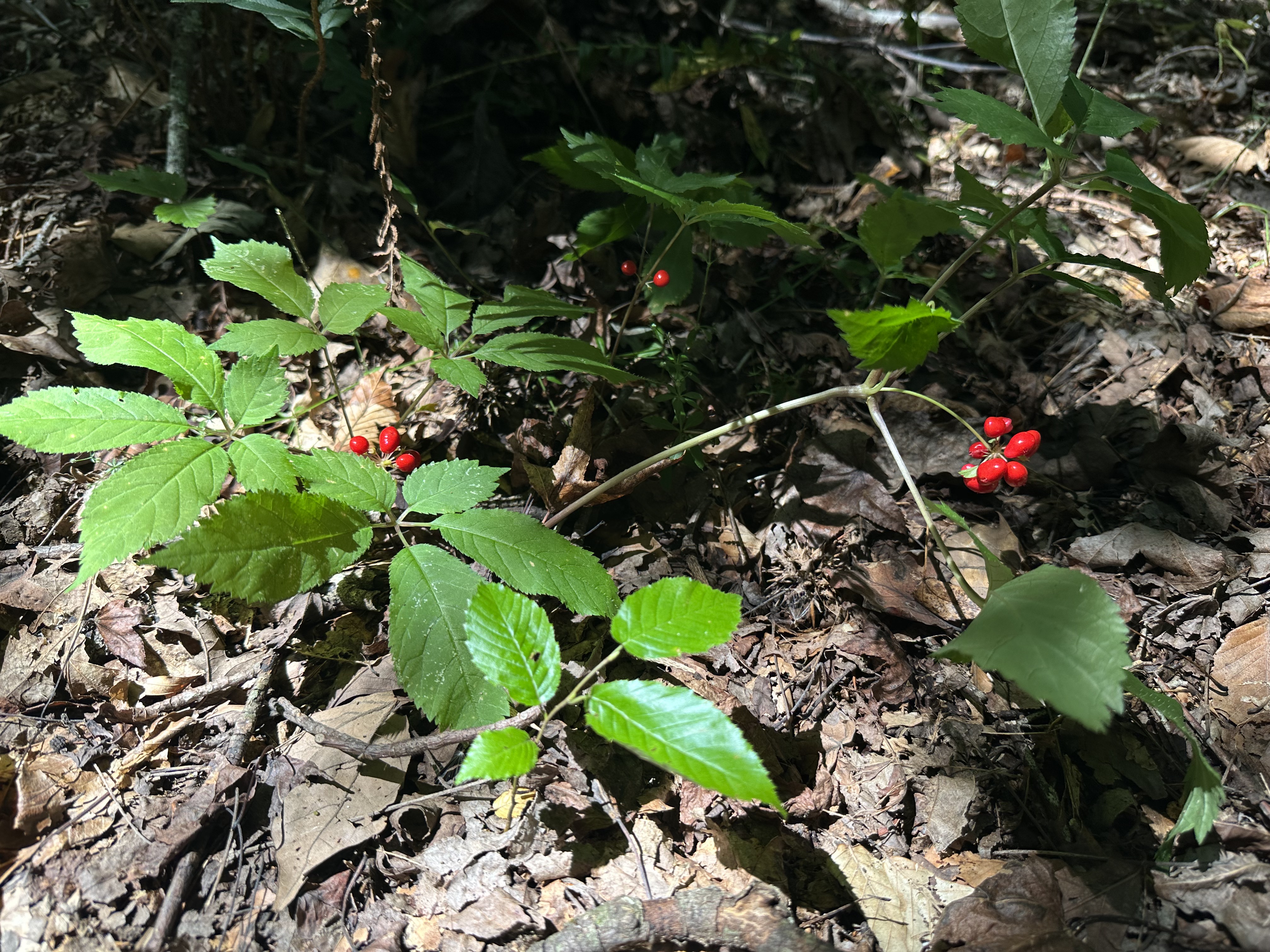
Research & Evidence
The geospatial case for ginseng restoration
The Investigation
A comprehensive study combining 1938 aerial photography, GPS field surveys, and GIS-based habitat modeling to understand why American ginseng has not returned to recovering forests on TVA-managed land.
This investigation spans 217 years of land use history — from Elizabeth Calloway Daniel's arrival in 1809 through the TVA acquisition of 1965, to present-day field surveys documenting a 60:1 disparity in ginseng populations between historically forested and formerly cleared land.
The habitat suitability model identifies 646 acres of prime and high-suitability habitat on federal land — 69% of the total parcel — where science-guided restoration could begin.
This work is also climate-relevant. American ginseng is a climate-sensitive, trailing-edge species whose southern Appalachian populations face increasing pressure from shifting temperatures and precipitation. Our habitat modeling identifies the sites most likely to sustain viable populations under changing conditions — ensuring that restoration efforts are climate-informed from the outset.
Key Findings
- 01Only 2 ginseng plants found on a 562-acre TVA parcel vs. 104 upstream in historically forested ravines
- 021938 aerials confirm the TVA parcel was cleared farmland — soil disturbance severed mycorrhizal networks
- 03Habitat suitability is 2.2x higher on land that was forested in 1938 vs. formerly cleared land
- 04Upstream populations represent a genetically adapted seed source for natural repopulation
- 05646 acres identified as prime or high-suitability restoration habitat on public land
Maps & Imagery
Four layers of geospatial evidence — from the original TVA acquisition plats to predictive habitat modeling.
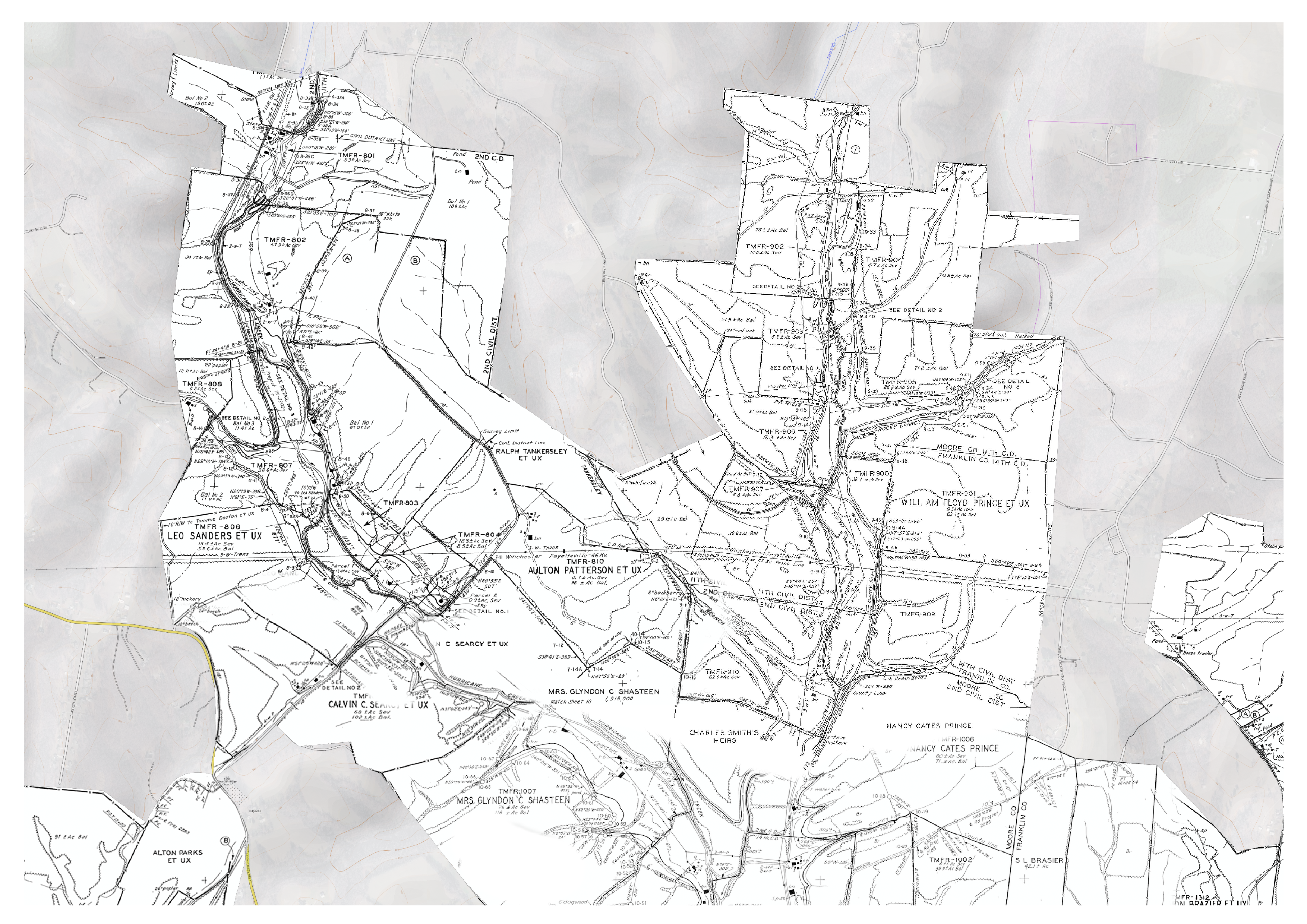
TVA Acquisition Parcels — Land taken from families before the 1970 inundation
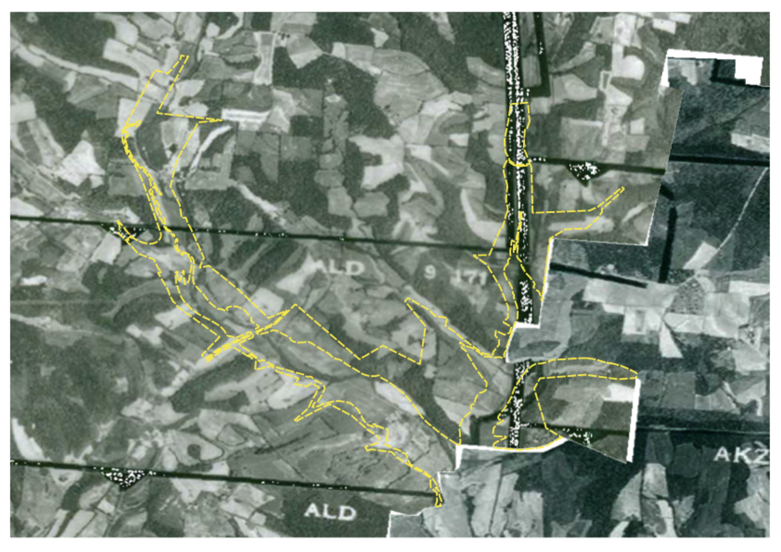
1938 Aerial Photography — Cleared farmland and bare hillsides before Tims Ford Lake
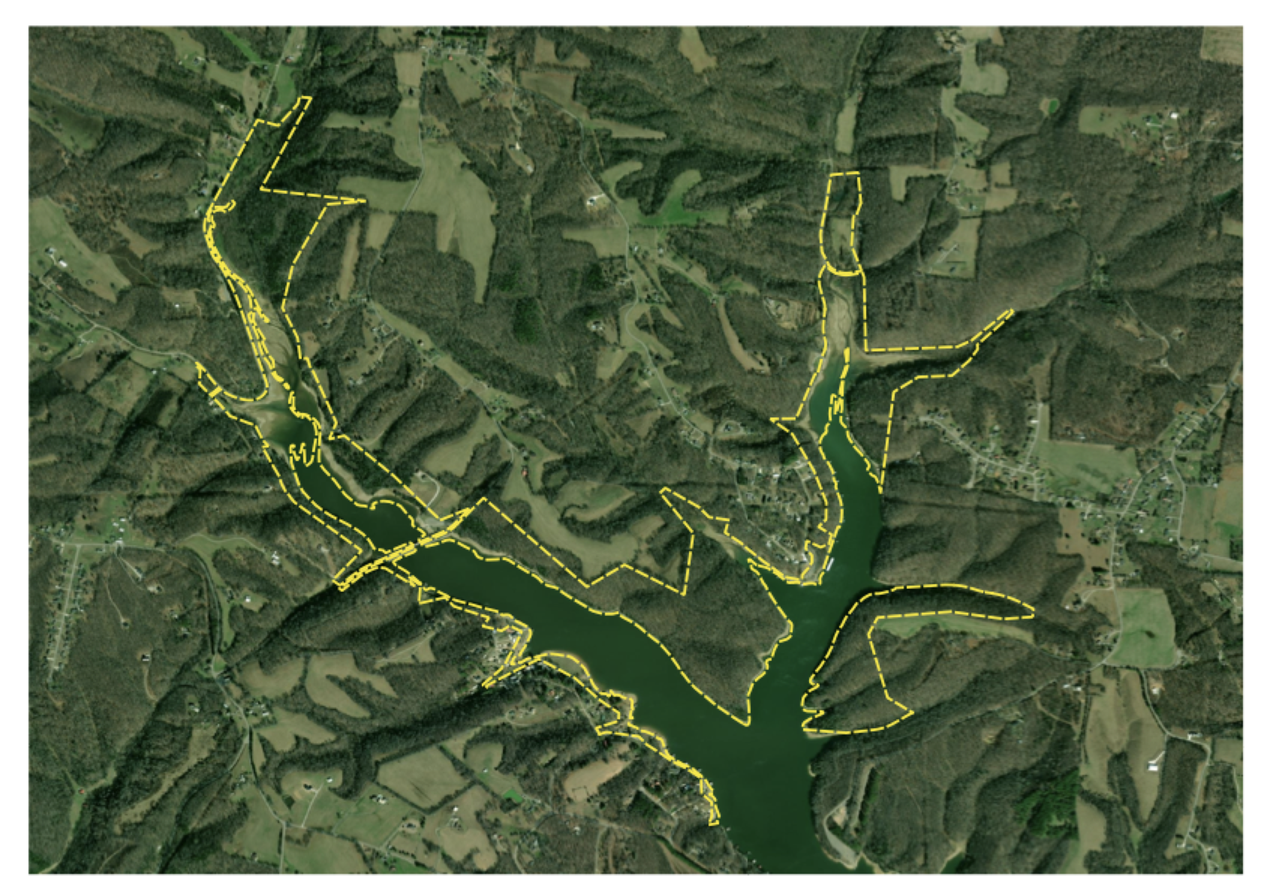
2026 Satellite — Forest recovery and lake impoundment after 55+ years
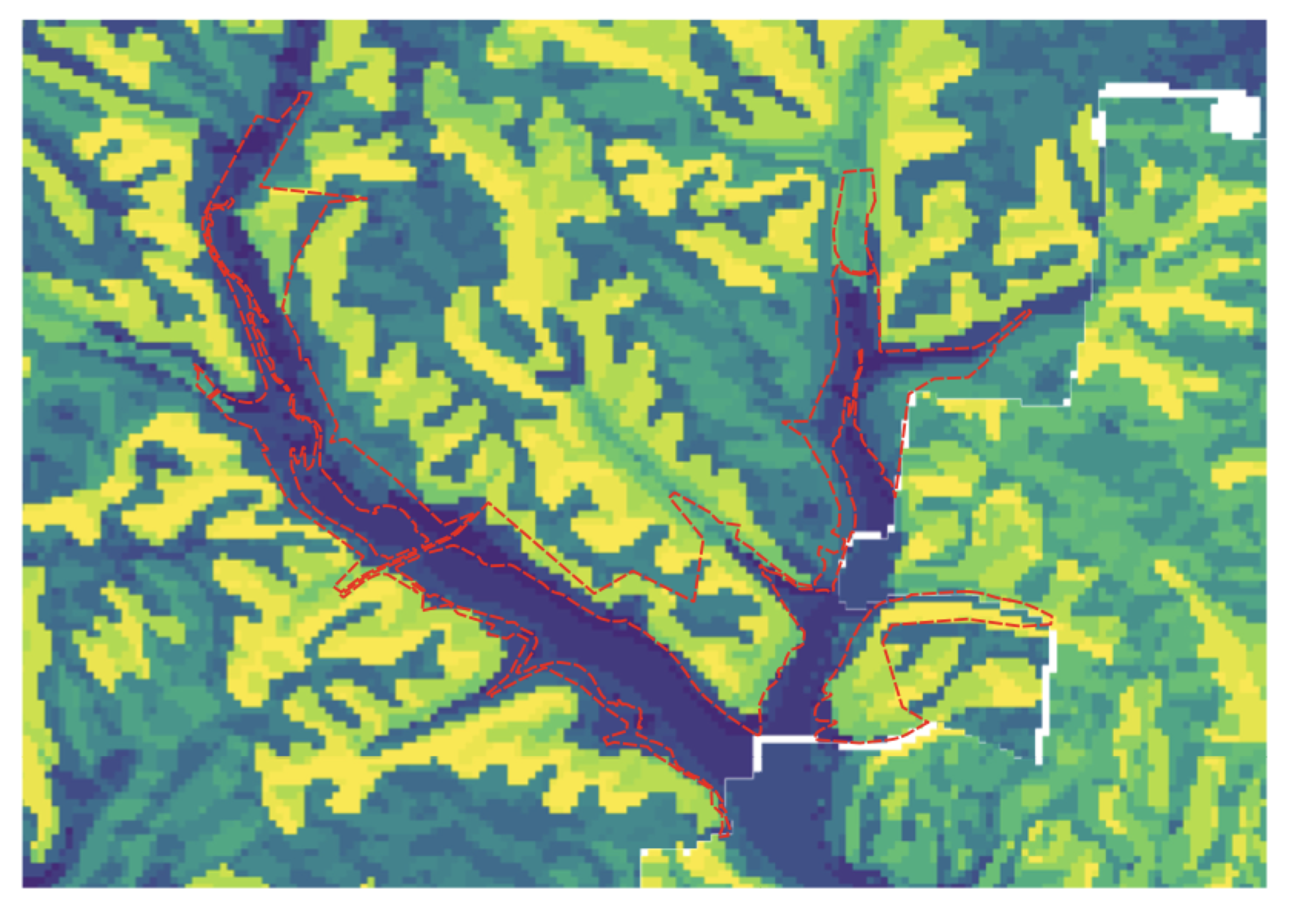
Habitat Suitability Model — Where slope, aspect, and canopy align for restoration
Interactive Ginseng Map
Explore the ginseng occurrence data, TVA parcel boundaries, and habitat suitability zones across the Hurricane Creek watershed.
Loading interactive map…
This may take a moment
Pan, zoom, and click markers to explore ginseng occurrence points and habitat data.
Interested in the Full Dataset?
If you're a researcher, land manager, or conservation professional interested in the underlying data, maps, or methodology — reach out.
Contact Us